
The hurricane's remnants are expected to move directly over New Mexico, and forecasters say Polo will enhance the monsoonal flow already soaking the region. Before Polo even arrives, remnants of Tropical Storm Odalys are spreading across Arizona and pushing into New Mexico, bringing showers and thunderstorms.
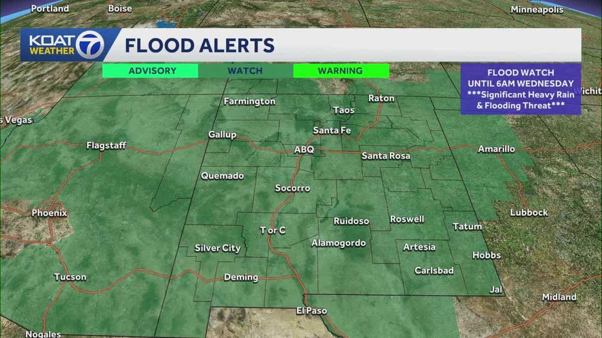
The statewide watch means every corner of New Mexico faces a real risk of flooding, not just isolated pockets. Two storm systems stacking on top of each other, Odalys first and then Polo, raises the odds of heavy rainfall hitting ground that's already wet. That combination is what pushed forecasters to issue a watch covering the entire state rather than specific counties or regions.
For people in New Mexico, that means paying attention to local alerts over the next several days, since the exact timing and intensity of Polo's remnants remain tied to how closely its track follows current forecasts. Flash flooding can develop fast, especially where storms line up back to back like this.
A hurricane that makes landfall in Mexico rarely triggers a flood watch across an entire American state, but Polo's remnants are doing exactly that to New Mexico.