
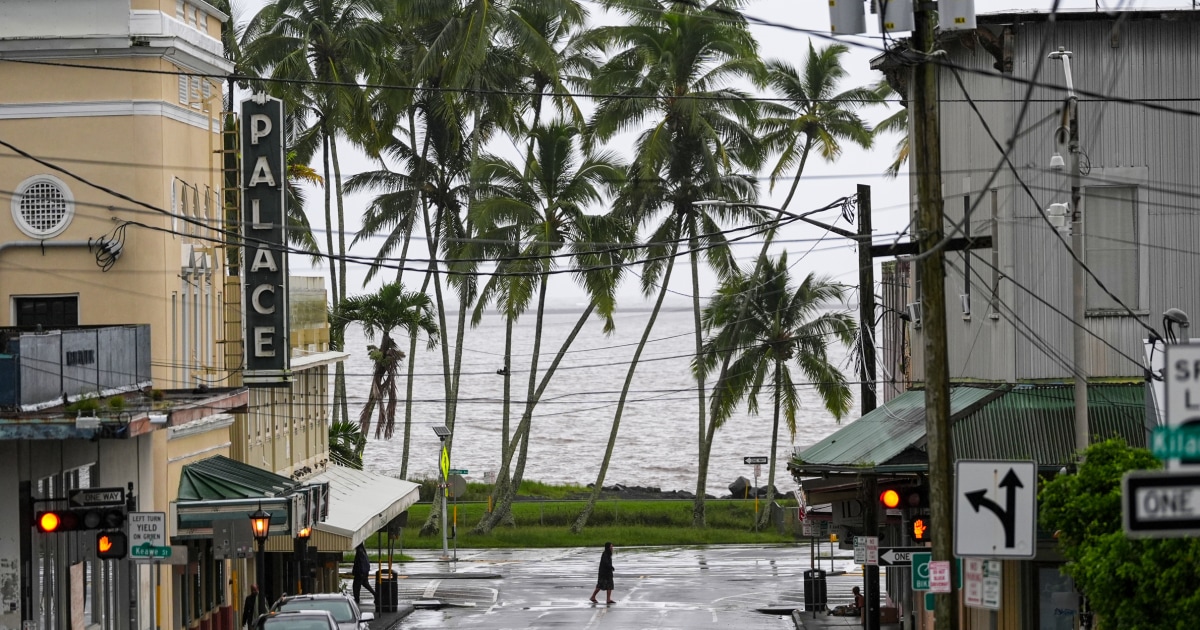
Nolo was churning slowly south of the Big Island with maximum sustained winds of 90 mph, its center about 165 miles south-southwest of Hawaii's southernmost point. Forecasters expect it to strengthen into a major hurricane late Sunday into Monday as it moves westward south of the islands. A hurricane watch had been issued earlier. Officials canceled it once it became clear the storm's center would stay offshore.
Outer bands from a storm this size can dump heavy rain and whip up surf capable of causing real damage along coastlines, even without a direct hit. That's especially dangerous for areas still cleaning up from previous storms, where flood-prone ground and weakened infrastructure make even indirect impacts riskier.
A slow-moving hurricane gaining strength while sliding past an island chain is its own kind of warning. Emergency officials are staying alert, and residents in Hawaii are being told the danger isn't over yet.