
Local News
RADAR LIVESTREAM: Scattered storms moving across South Plains - KCBD
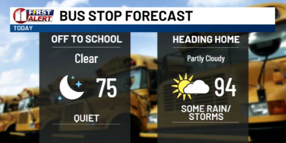
Scattered thunderstorms rolled across the South Plains Tuesday afternoon, and the National Weather Service issued severe thunderstorm warnings for gusts topping 60 mph. KCBD tracked the storms moving slow, about 10 mph, on a path from the southwest to the northeast.
KCBD tracked the storms moving slow, about 10 mph, on a path from the southwest to the northeast. Temperatures still hit the mid 90s Tuesday afternoon before the storms fired up, keeping things hot right up until the rain and wind moved in. Anyone with outdoor plans across Lubbock and the surrounding South Plains needed to watch the sky and check radar before heading out.
The timing lines up with a bigger shift. Fall officially arrives in a week, and forecasters are already pointing to a transitional pattern bringing more rain chances and cooler temperatures behind these storms. For a region that spends most of September still baking in the 90s, that combination of severe wind gusts and a cooldown on the horizon is worth paying attention to.
For people here, the immediate concern is wind. Gusts over 60 mph can snap tree limbs, kick up dust, and knock out power, especially with storms slow enough to stall over one area. Drivers in the afternoon or evening should expect sudden visibility drops and gusty crosswinds.
Hot afternoon, severe storm warnings, and a real shot at Lubbock's first taste of fall weather, all inside the same 24 hours.
Stay in the loop
Weekly Lubbock news, deals, and events. Free.