
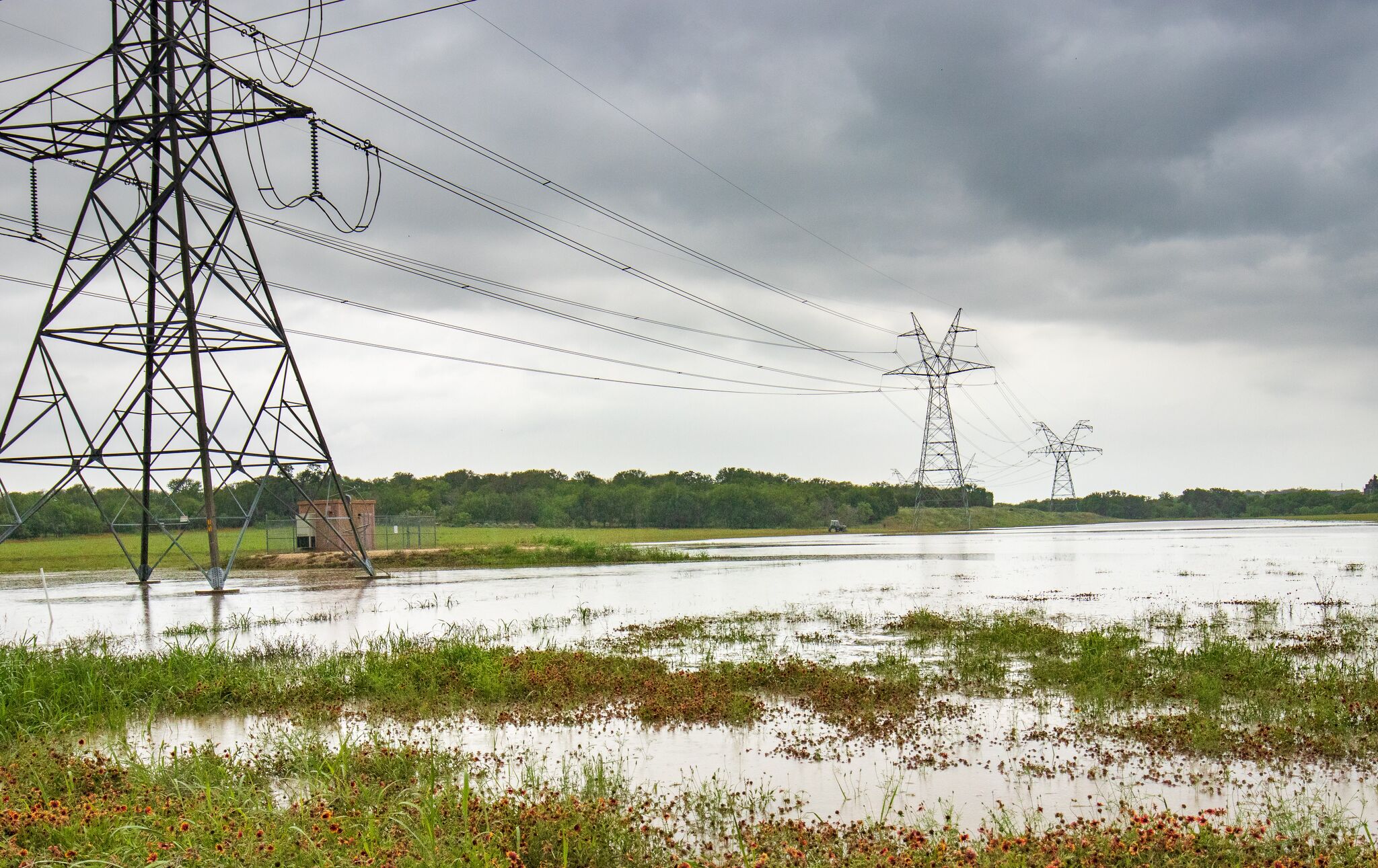
The El Paso NWS office says heavy rain will likely develop late Monday afternoon and keep falling into late Tuesday night or early Wednesday morning. A flood watch starts at noon Monday for the El Paso area and continues through the storm's duration. Forecasters describe the setup as capable of producing severe flooding in spots hit hardest by the rain bands moving off the storm.
Anyone driving through West Texas Monday through Wednesday should be cautious. This is the kind of system that turns dry arroyos and low-water crossings into real hazards fast, especially once heavy rain stacks up over a short window. Watch road conditions and weather updates closely, particularly at night, when flooding is harder to see coming.
A hurricane spinning far off the coast is about to dump more rain on West Texas in two days than some parts of the region see in a typical month.