
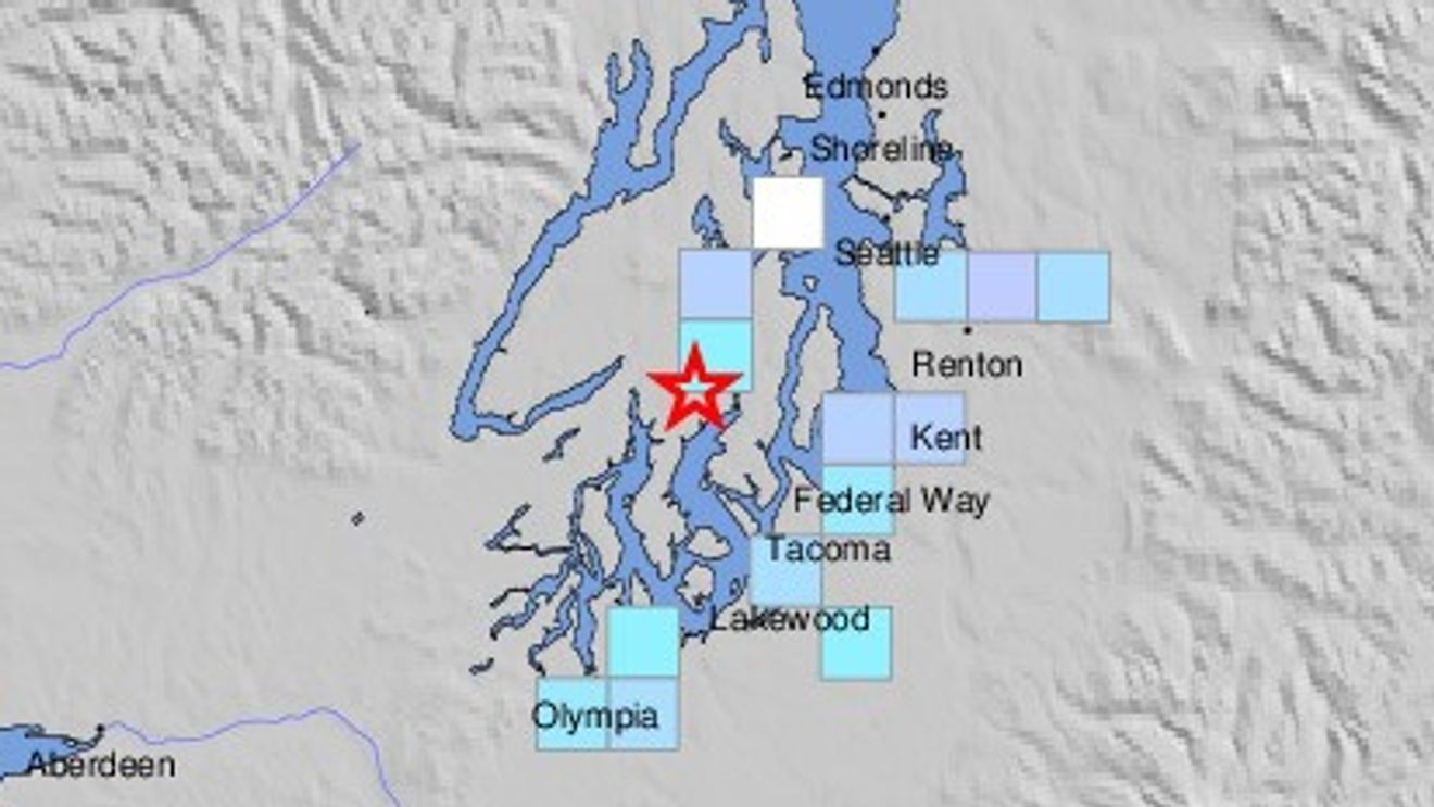
The U.S. Geological Survey recorded the quake at 2:05 p.m. At a depth of roughly 26 kilometers, or 16 miles below the surface. That puts the epicenter about 8.3 miles north-northwest of Artondale, nearly 10 miles south-southwest of Port Orchard, and around 12 miles south-southwest of Bremerton. About 27 miles to the south-southwest lies Olympia.
The quake hit a stretch of western Washington packed with small towns and cities along the water, from Gig Harbor to Bremerton. A depth of 16 miles is considered relatively deep for a quake this size, which can spread shaking over a wider area while softening the jolt felt directly above the epicenter.
For people living near Port Orchard, Bremerton, or Olympia, a 4.2 is usually strong enough to notice, rattling dishes or waking someone from a nap, but rarely strong enough to cause real damage. Still, any quake in the Puget Sound area draws attention given the region's history of larger seismic events tied to the Cascadia subduction zone nearby.
The USGS listed the report as preliminary, meaning the magnitude, depth, and location could shift slightly as seismologists review the data.