
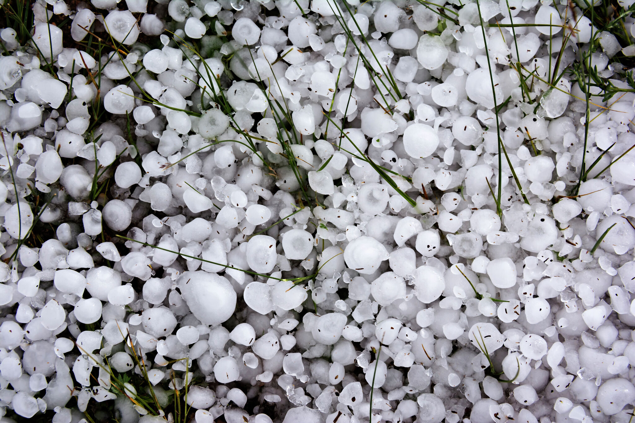
The National Weather Service in Amarillo says Panhandle storms are likely between 4 p.m. And 11 p.m. Tuesday. Threats include hail up to the size of ping pong balls, winds up to 60 mph and a very low tornado risk.
Wednesday brings another chance, with quarter-sized hail and 60 mph gusts, and the tornado risk stays very low. Heavy rain could come with any storm that develops, which raises flooding concerns.
The National Weather Service office in Midland-Odessa expects isolated strong to severe storms both days. Forecasters there say localized flash flooding poses the greatest risk, starting Tuesday evening and lasting through Friday.
Then the weather flips. The cold front brings fall-like weather to much of Texas this weekend, and some regions could get a taste of winter. In the Panhandle, temperatures should drop significantly, especially overnight. Amarillo forecasters say highs may not even escape the 50s Friday afternoon.
Parts of Texas could go from 60 mph wind gusts to a near-freezing chill in a matter of days.