
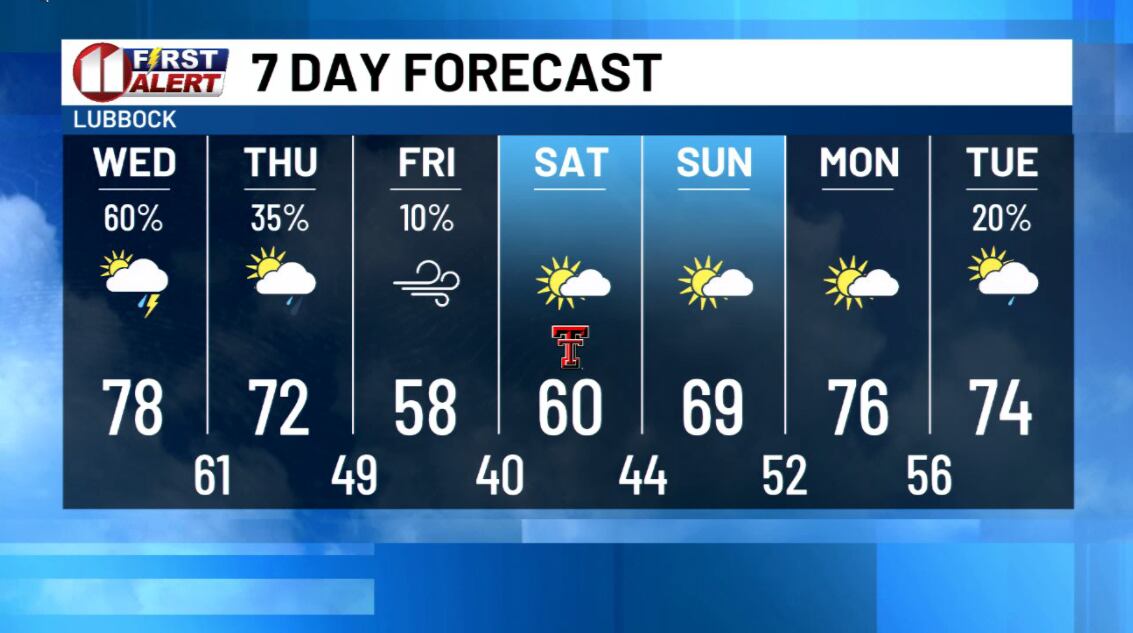
The atmosphere is holding moisture levels more common in summer than in mid-October. Pair that with instability and you get this evening's storms. Severe weather is most likely east of the Interstate 27 and Highway 87 corridor.
These storms produce rain efficiently, so if more than one passes over the same spot, flooding becomes more likely. The National Weather Service issued a flash flood watch through Wednesday for the northeastern part of KCBD's viewing area and through Thursday night for the southern part. Some places could see two or more inches.
Strong wind gusts are the main severe threat for most of the area. Folks in eastern areas, especially off the Caprock, should also watch for large hail. A brief, isolated tornado is a low risk, mainly over the northern Rolling Plains and the southeastern Texas Panhandle. Another round of showers and a few thunderstorms arrives before sunrise Wednesday and lifts northeastward through the day. Then a strong, early season cold front pushes south through West Texas Thursday, and a much cooler air mass follows.
Summer-level moisture tonight, a dramatic cooldown by the weekend.