
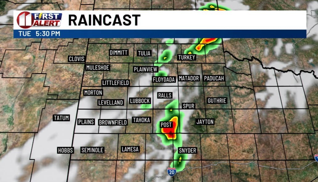
Tuesday morning and early afternoon stay quiet. Conditions turn unstable late in the day as an upper shortwave trough moves over the region, and storms develop in the late afternoon and evening, mainly along and east of the I-27/US-87 corridor. A low-level jet stream will keep storms going overnight, and the main severe threat is damaging wind from wet microbursts.
Rain is the bigger worry. Atmospheric moisture is running 90 percent or higher than average for this time of year, with precipitable water values near or exceeding 1.75 inches. Flooding becomes most likely where storms train over the same areas, and the greatest threat through midnight Tuesday sits along and east of I-27.
Wednesday brings no break. Precipitation back-builds westward early that morning, then settles east of the Caprock from Wednesday evening through Thursday afternoon, and severe storms stay possible the whole time. East of the Caprock, the flood risk drags on just as long. Rain should end everywhere in the forecast area by early Friday morning.
Tuesday is the last warm day, and by Friday and Saturday highs drop into the 50s and 60s.