
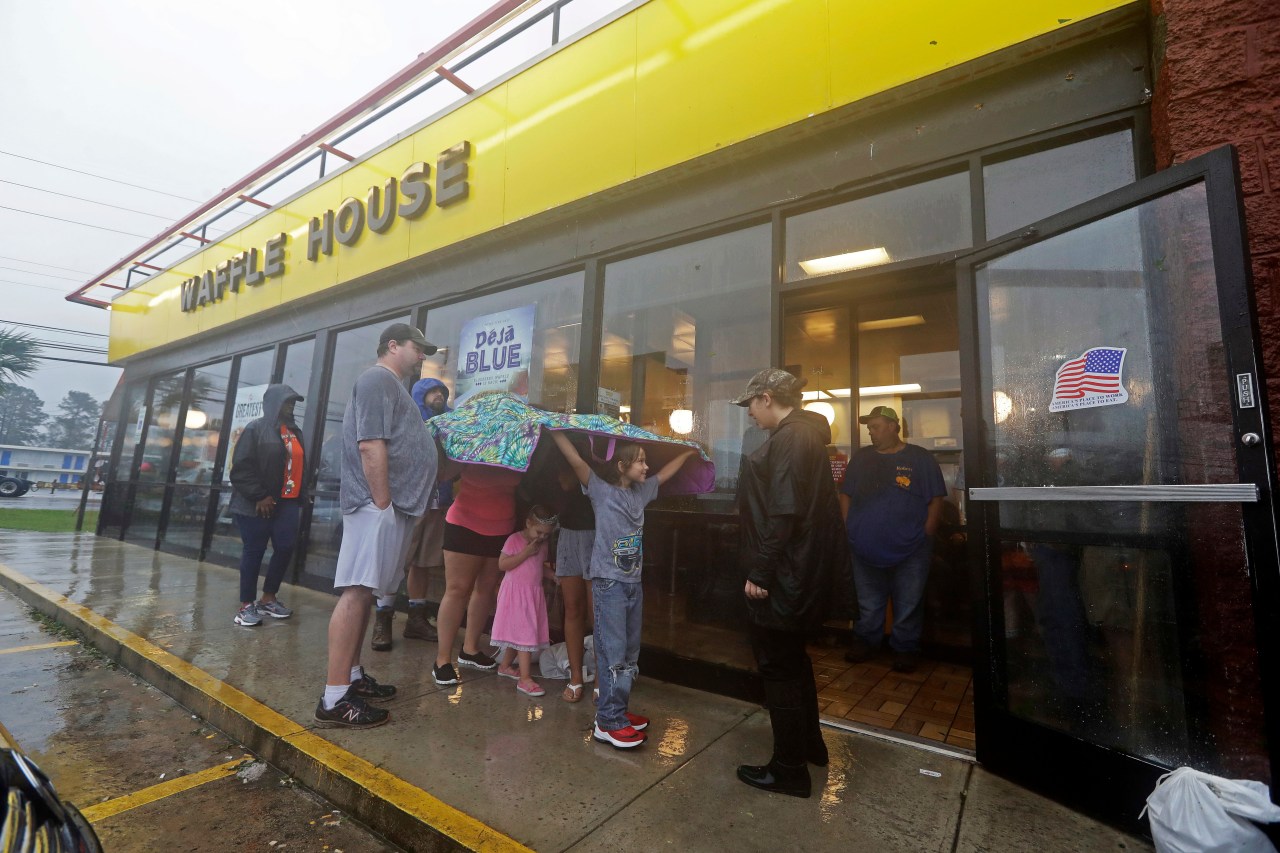
Folks call it the Waffle House Index, an informal measure of how badly a storm hits a community. The chain runs more than 1,900 restaurants, concentrated in the Southeast and mid-Atlantic. Residents of storm-prone states check a map of those locations to guess whether they will lose power, face severe flooding or meet other extreme conditions that would close a resilient restaurant. For some, it helps decide whether to evacuate.
The habit grew over decades. Waffle House serves breakfast 24/7, 365 days a year, and people across the South noticed their local one often stayed the only business open during a storm or reopened first afterward. The company even runs its own storm center. Its social media shares color-coded maps of restaurant locations in certain regions.
What sounds like silly logic now ranks among the most reliable ways to gauge a storm's severity. For residents, an open location means a place to warm up, charge devices and grab a hot meal when people desperately need one.
A chain known for hash browns and waffles now helps FEMA and other federal officials spot the communities that need immediate aid.