
Saturday stays mild and dry. Highs reach the low to mid 80s on the Caprock and near 90 off it, under mostly clear skies. Normal for this time of year is the upper 70s, so temperatures run 5 to 10 degrees above that.
Sunday changes the picture. Low pressure developing to the west will kick up afternoon gusts near 30 mph, enough for patchy blowing dust. Highs climb to the mid to upper 80s on the Caprock and the low 90s off it. Monday tops the stretch, a degree or two warmer, running 10 to 15 degrees above average for mid-October.
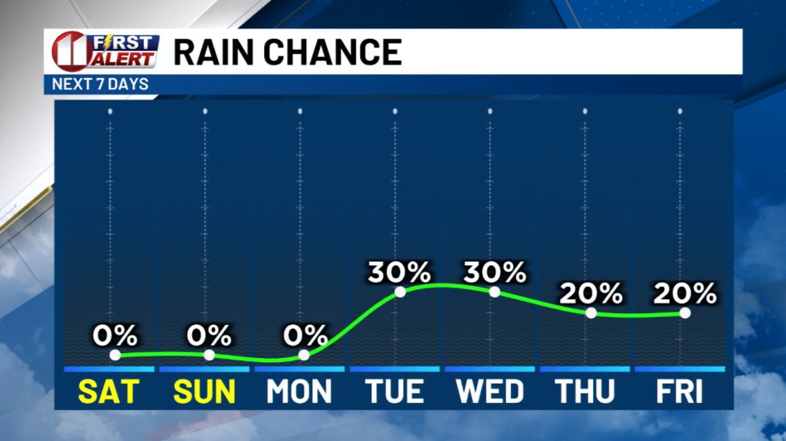
Rain follows. An upper-level low over the Southwest US starts drifting toward the South Plains, West Texas, and eastern New Mexico, with rain chances beginning Tuesday. Thunderstorms are possible, and some could turn severe. Moisture levels look high, so significant rainfall could arrive.
For you, that means Saturday is the day for yard work and outdoor plans. On Sunday, get outside in the morning before the wind picks up, and secure anything light in your yard. Details on Tuesday should sharpen as it gets closer, so the timing and strength of the storms could still shift.