
Monday stays warm and breezy, with southerly winds. High pressure builds over the region, making it one of the two hottest days in the forecast period. A slight chance for isolated thunderstorms shows up late in the evening, but weak instability and a lack of upper atmospheric support should keep coverage low.
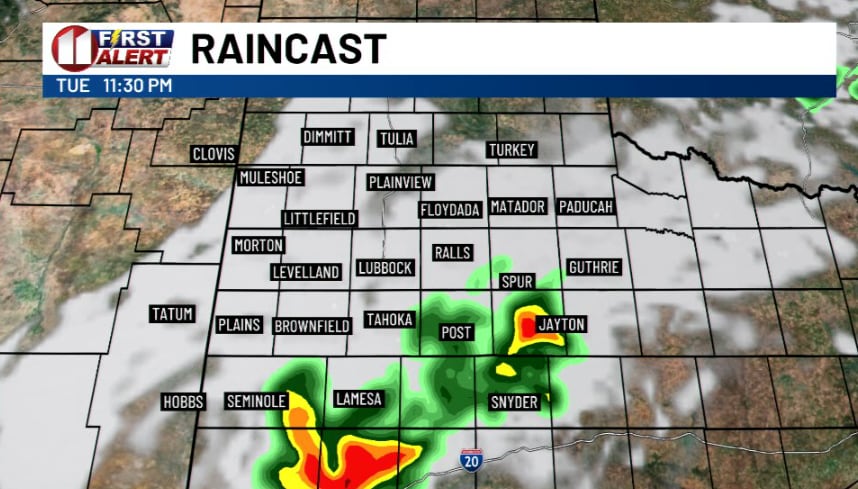
Then the pattern flips as the upper-level low moves slowly south and east. Severe thunderstorms are possible across much of the area Tuesday afternoon through evening, with the highest chances off the Caprock. Damaging winds, large hail and tornadoes are all on the table.
Heavy rain becomes the biggest threat from Wednesday afternoon through Thursday afternoon, especially across the eastern South Plains and areas off the Caprock. Meteorologists say swaths of 2 or more inches are possible, with localized flooding in some spots. Severe storms can't be ruled out Wednesday and Thursday either.
A week that opens warm and breezy could close soggy.