
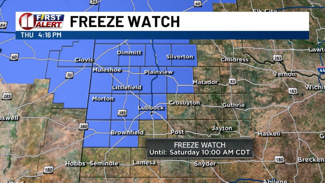
Colder air from the north is following the first strong cold front of autumn, and the heavy rain has ended. North winds will gust 30 to 35 mph tonight. Lows will drop into the 40s across most of the KCBD viewing area, with upper 30s possible around Friona, Dimmitt, and Muleshoe.
Friday stays raw, with highs only in the 50s. That runs as much as 20 degrees below average for mid-October. The wind should ease through the afternoon and turn light before sunset, and clouds start clearing late in the day. Light wind and clear sky set up radiational cooling, which means heat escapes from the ground into the atmosphere with nothing to trap it. That makes for a cold Saturday morning.
If you have a garden, tender plants, or cold-sensitive animals, Friday is the day to prep. The Watch could jump to a Freeze Warning sometime Friday, and the far northwestern parts of the viewing area are likely to see freezing temperatures. Lubbock's forecast low sits just above freezing.
A degree or two could decide whether Saturday morning brings Lubbock's first freeze or just a close call.